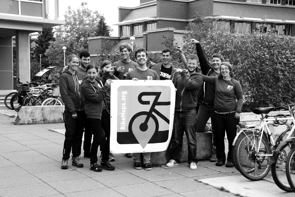
Dr. Trisalyn Nelson from the UVic geography department, along with a team of researchers and students, has developed an interactive bike map used for plotting safe routes and collecting data. The map, found at bikemaps.org, can be used to report possible hazards to other bike map users, and provides valuable data on near misses and bike crashes to the geography department.
The map has been up and running since Oct. 5. As Nelson points out, “We’ve had mappers in Australia, in Helsinki, in London, England, [and] even in the U.S. We’ve had 200 new locations mapped and [about] 4 500 visits to the website.”
As much of the traditional bike data comes from ICBC, only accidents involved with an insurance claim will be recorded. Because of this, there are large gaps in data from near misses or pedestrian collisions that are unreported. Users of the bike map can mark such instances as near misses, crashes, hazard areas, or areas of bike theft.
“One of the main [reasons] that people don’t bike in the first place is because they don’t feel safe riding on the roads,” says Ben Jestico, a masters student working on the project. “This will be a good way to highlight where they don’t feel safe if we are able to capture these near-miss areas.”
The geography department will use this information to learn more about problem areas and safety planning within the CRD. As Nelson says, “I am concerned about cycling safety. Usually when I ride, I feel pretty safe, but I have kids who are starting to want to ride on their own and any thought of them going off on their own definitely [makes] me want to make cycling safer.”
While the team is using Victoria as a pilot for the program, they hope that it will be used across Canada for infrastructure planning. “I would like to see it go everywhere,” says Nelson. “I’d love to see this become a real resource for Canada.”
In the spring, the team hopes to release an app that will make the map more convenient to users. All the same mapping functions will be available, as well as automated alerts to a user’s normal route, and a feature that will find the safest route for a biker to travel.
As the website has already had its share of activity, Nelson points out the opportunities that the program presents for students. “I think [Jestico’s] work is really going to be groundbreaking,” she says. “It’s an exciting opportunity for masters students.” Not only was the website made by fifth-year geomatics student Taylor Denouden, but Jestico will have the opportunity to be the first person ever to analyze near-miss data.
“There is a lot of research that looks at the variables and predictors for risk for cyclists,” says Jestico, “but they’re all using standard, traditional databases like ICBC records, or police reports and hospital records. The opportunity to incorporate other data, or collisions that don’t involve motor vehicles, is a big deal. That’s the part that’s really exciting.”


