A deep dive into the state of UVic’s water ecosystems, and the potential for restoration
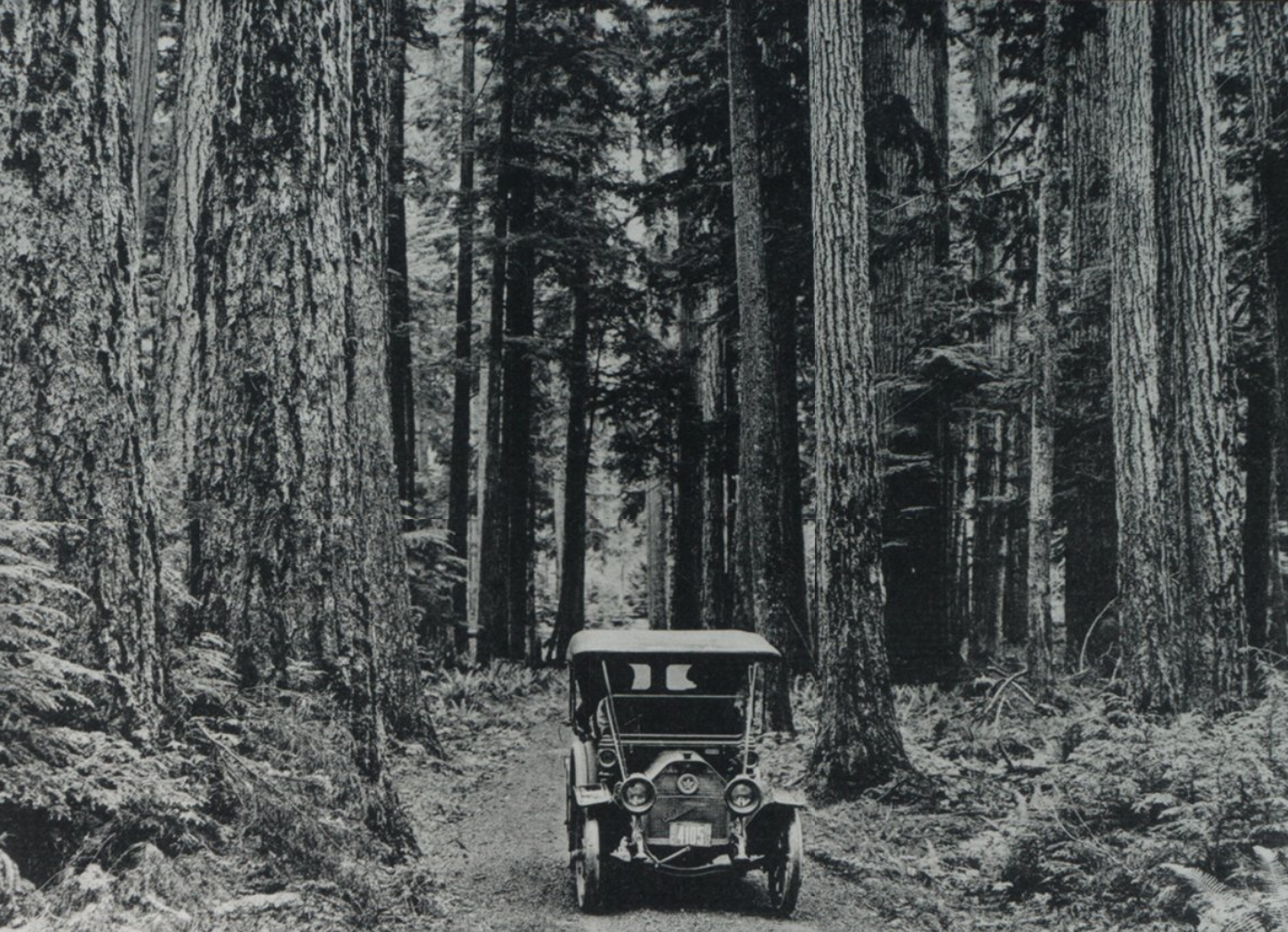
Henderson Road entrance to the university. Photo via BC Archives and Records Service.
Students may (or may not) know that prior to UVic’s presence on the lands that make up its campus, there was a military camp. Some students may know of the land’s history before that as a flying club, WW2-era hospital, and emergency veteran housing project. Perhaps a few will know of its time before that as a sheep farm, strawberry fields (and jam factory), and orchards. Or that the Hudson’s Bay Company owned and logged 54 per cent of the old growth on campus’s current grounds. In other words: the land that UVic stands on has been altered drastically from the 1850s to the present day.
The relationship that the lək̓ʷəŋən and W̱SÁNEĆ have with the area, however, began thousands of years before these short-lived operations. The assortment of ecosystems that originally made up the land included č̓sey̓ or č̓seyʔíɬč (Douglas fir) and sqʷəmáy̕əqs (grand fir) forests, creek ravines, ĆEṈÁȽĆ or Kwetlal (Garry oak) meadows, and wetland habitats. Some of the creeks, such as Bowker, were once rich with cutthroat trout, coho and chum salmon.
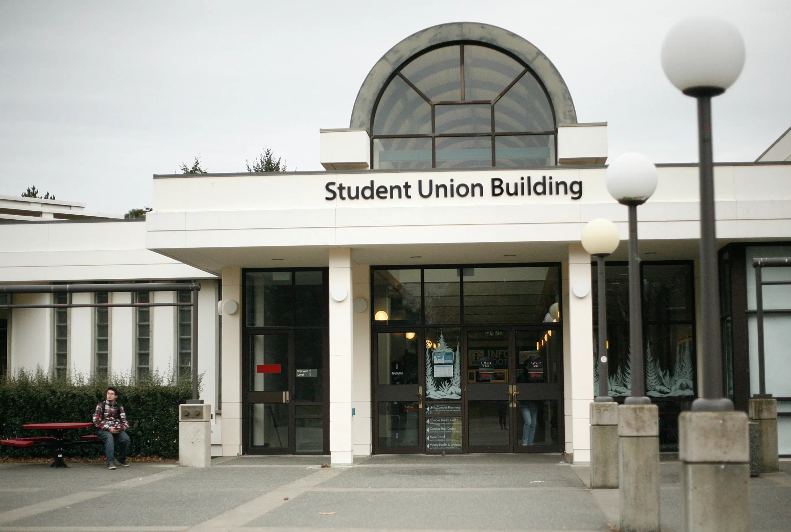
Over time, the logging, construction of buildings and roads, farming, and introduction of new species have changed the land and water systems. UVic’s campus is part of four watersheds: Finnerty Creek, Cadboro drainage system, Hobbs Creek, and Bowker Creek. To understand how these water ecosystems have changed over the years, the Martlet spoke with Ken Josephson — a highly experienced cartographer whose expertise lies in community engagement through mapping — who has worked at UVic since 1981.
In an interview with the Martlet, Josephson shared a few of the many stories he has heard about the water ecosystems around UVic’s campus over more than four decades doing community mapping in the area.
“There was a guy by the name of Keith, he was in his nineties.… He and his wife used to skate on the frozen floodplain of Bowker Creek every winter, right where Shelbourne avenue is,” Josephson said.” There was another woman who used to walk her dog in the wetland up here where the [UVic] stadium is… hearing the frogs.”
Josephson highlighted how quickly these stories can get lost in our collective memory, but he is optimistic that the past can be used to inform positive change.
“You hear those stories about this couple, that it was a frozen flood plain, and how the Songhees women managed camas meadows… I feel like I see a ghost of that when I come and go. And I thought it was beyond hope, and not worth doing anything about. But my perception has changed.”
Josephson believes that Geographic Information System (GIS) mapping has great potential to be used as a tool for decisions about restoration on campus. GIS is a technology used to map out and analyze different types of spatial data.
“I do think it’s a fantastic project opportunity…. I keep feeding it to our GIS department’s Geomatics lab here, that would be a great thing for students — to go through these historical maps, geocorrect them, and then add to [existing maps].”
“You can take one of these maps from 1859 that show original water courses, and you can fade it in and out so you can see what present day looks like.”
Josephson has volunteered for the UVic Global Community for a number of years, running interpretive walks. During these walks he aims to “[peel] back the history of [UVic]. That it hasn’t always looked like this,” he said. “There’s just a hunger to hear about [it], and even to walk around and see what’s edible.”
Josephson explained that the restoration of UVic’s water ecosystems could help the land cool and mitigate heat domes, support healthier trees, improve wildlife corridors, and increase overall biodiversity.
“There needs to be a lot more restoration — there really does…the prospect of bringing that back, it makes so much sense,” he told the Martlet.
Although a lot of research and engagement must be conducted to elicit water ecosystem restoration on campus, some of the legwork was done decades ago. Since the early 2000s, in-depth professional studies and student project reports have been completed on this topic, such as “The Changing Nature Project,” written by students Alex Campbell and Matt Kemp in 2016 and supervised by Dr. Eric Higgs, an expert in ecological restoration and professor of environmental studies at UVic.
“My impression is that no substantive changes have been made since ‘The Changing Nature Project report,’” said Higgs in a statement to the Martlet. “The three streams were (fortunately) clearly identified as having significance in the 2016 UVic Campus Plan, which aimed to enhance connectivity around the campus.”
Higgs added that no formal restoration initiatives that he is aware of have taken place to address the recovery of stream channel and surface water flow. Additionally, he said, “effective communications [are needed] about the significance of UVic as the headwaters of multiple streams.”
Higgs acknowledged that it is possible UVic has done more than he is aware of regarding stream restoration.
The University lies within the jurisdiction of the District of Saanich, the District of Oak Bay, and within the Capital Regional District (CRD). This holds UVic to specific bylaws and industry-specific regulations regarding stormwater. In a statement to the Martlet, a spokesperson from the Office of Campus Planning and Sustainability at UVic confirmed the university’s implementation of stormwater facilities in adherence to these rules.
“The University of Victoria has implemented numerous engineered stormwater facilities across campus — such as rain gardens — to manage runoff from new developments. These systems help control water flow and reduce sediment entering the watershed. You may not notice them at first glance, but they’re integrated throughout campus. From the West Campus Greenway to Student Housing and Dining, the bus loop, CARSA, the District Energy Plant, and newer projects like the Michael Williams Building and Engineering precinct — they all contribute to managing stormwater in a way that supports a healthy watershed.”
The spokesperson also mentioned that “the university partners with the Greater Victoria Green Team”. They are one chapter of Green Teams Canada, an environmental charity that sets out to improve environmental well-being by coordinating hands-on activities. This contract year, 553 volunteers from the Green Team were involved in land restoration, which resulted in 98m3 volume of invasives removed from campus. A portion of this work took place in the Bowker Creek Headwaters area.
In 2004, the CRD established the Bowker Creek Blueprint, which lays out a 100-year action plan to restore the Bowker Creek Watershed. It brings together the local governments of Victoria, Saanich, Oak Bay, and the CRD with six community groups/associations, and the institutional partners UVic and School District 61. It is unclear what engagement it has with local First Nations.
UVic holds a special position in this initiative, as it is located at the headwaters of Bowker Creek. Everything the university does, regarding the watershed, impacts the waters and ecosystems downstream. It remains unclear if any action has been taken through the CRD’s initiative in the UVic section of Bowker Creek; although the CRD will soon be releasing an updated plan to the public soon.
Other important work is being done by Indigenous Land Steward Loreisa Lepine in partnership with Eco-Cultural Steward Drew Elves. Emerging from the ‘Campus as Living Lands’ project — a project to support Indigenous resurgence through initiatives such as restoration, highlighting Indigenous place names and living histories, Lepine and Elves are leading place-based ecological restoration on campus. Alongside both students and Indigenous faculty, their work has expanded to four restoration sites, including the marsh in front of the First Peoples House.
Much has changed to local campus water ecosystems over the short span of 175 years. It is up to UVic’s Board of Governors, Senate, and administration, as well as the relevant Districts, the lək̓ʷəŋən and W̱SÁNEĆ communities, local environmental groups, and the public to shape its future. From GIS mapping tools, studies and student project reports, to the CRD Bowker Creek Blueprint, and Indigenous-led land stewardship — it is clear that there is a desire for change. What remains unclear is the capacity and funding for these efforts.
As Campbell’s and Kemp’s report puts it, “by allocating more resources and support to these areas, students and faculty can mobilize to eradicate invasive species, while implementing effective strategies to mitigate ecological and hydrological concerns.”
This article was inspired by the ‘The Lost Streams of Victoria’ map by Jennifer Sutherst.